2 min read

5 Ways to Improve Site Balance

5 Ways to Improve Site Balance
How to Improve Site Balance | TraceAir
3:39

The Keys to Site Balance‍

Last week, TraceAir hosted a webinar to discuss best practices in managing site balance, where we discussed why site balance is important and what makes it so challenging to calculate. Legacy methods, such as traditional aerial topos, soil borings, and hiring multiple consultants, are inefficient and cost-prohibitive to managing site balance effectively. Watch the recording of our webinar to learn more, or continue reading to get a few recommendations.‍

1. Fast, cheap, regular topos‍

Old school methods like aerial and hand topographical surveys are not fast or cheap, and that's why they can't be done regularly. Drones are without a doubt the most reliable and affordable method of capturing aerial survey data, so project teams can survey as often as weekly (or more!). It's a matter of preference whether project teams want to fly drones themselves or hire a third party, but either way, drones provide accurate project data quickly and cheaply.‍

2. Fast, accurate calculations‍

Once regular topo data is available, the project team must be equipped with site intelligence software that enables them to run cut & fill to design calculations with a reasonable degree of speed and accuracy. Software also allows them to visualize the results for collaboration.

By tracking site balance weekly, teams can identify problems early and correct them before they become expensive. Accurate cut/fill calculations make it possible to balance even the largest grading projects. A small hint here is to always exclude the finished areas of the project from the cut & fill to design calculations to improve the accuracy of site balance number.‍

3. Plan for remedial grading‍

Complicated projects with massive amounts of remedial grading require a different approach. Basic cut/fill to design calculations do not account for over excavation, removals and keyways. These projects benefit from more complex analysis that calculates:

  • Volumes to date (raw and remedial)
  • Historical bulk/shrink to date
  • Volumes remaining (raw and remedial)
  • Balance prediction

These calculations require multiple inputs of design documents, which brings us to our next point....‍

4. Design in 3D‍

3D models of rough grading plans, proposed remedial (corrective) grading plans, and remedial as-builts make managing complicated site balance calculations possible. The initial cost to develop 3D models is a lot to bear, but the cost of a dirt imbalance can be far greater!

It costs between $10 and $30 per cubic yard to import or export dirt. Just a 5,000 cubic yard imbalance can cost $150,000, not including the cost of a schedule delay! Not to mention the cases when exporting dirt is prohibited on the project... When it comes to large grading projects, the cost of 3D design is a worthy investment.‍

5. Use one source of truth‍

We've heard from many owners that one of their biggest challenges is reconciling multiple site balance estimates from various consultants and sources. The primary reason for discrepancies is that different consultants are using different inputs, such as existing and proposed grades, boundaries, etc. Using consistent inputs will result in less confusion for owners.‍

We want to help!‍

At TraceAir, helping our customers solve their biggest project challenges, like site balance, is our passion. Reach out to our team to learn more about our proprietary software that includes easy cut/fill calculation tools or customized site balance reports.

Every Land Developer's Worst Nightmare

Every Land Developer's Worst Nightmare

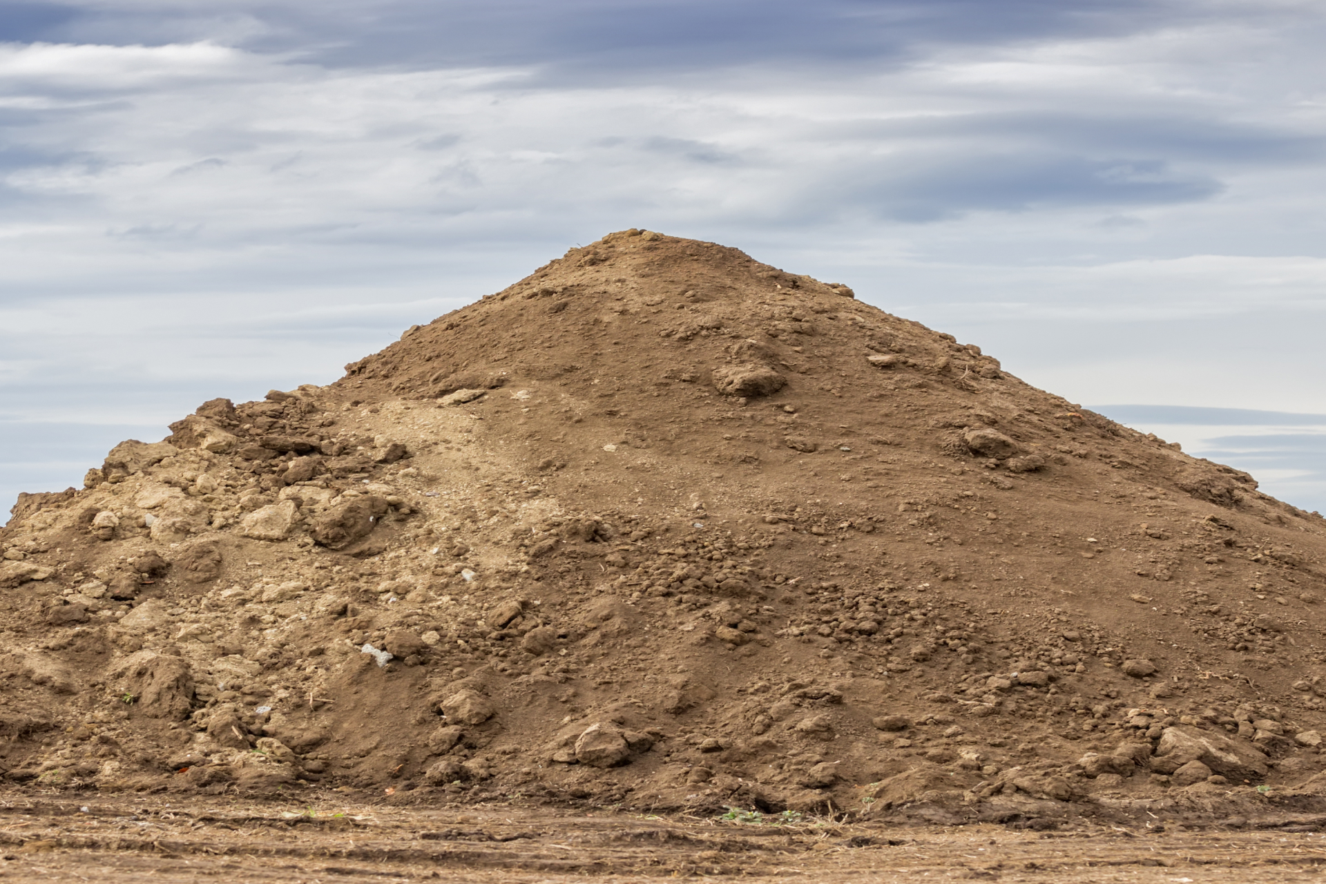
A large stockpile at project end is every land developer's worst nightmare. Learn how aerial data helps you avoid the high costs of dirt exports.

Read More
Earthwork Volume Accuracy: Why ±2% Error Is Costing Homebuilders More Than They Think

Earthwork Volume Accuracy: Why ±2% Error Is Costing Homebuilders More Than They Think

A 2% earthwork error can cost $120K+ on a 500-lot project. Learn where volume miscalculations come from and how aerial scans close the gap.
Read More
How to Improve Manual Site Inspections With Drone Site Monitoring

How to Improve Manual Site Inspections With Drone Site Monitoring

Weekly site walks can miss volumes, subcontractor errors, and documentation gaps. See how drone monitoring closes those blind spots.

Read More