2 min read
5 Ways to Improve Site Balance
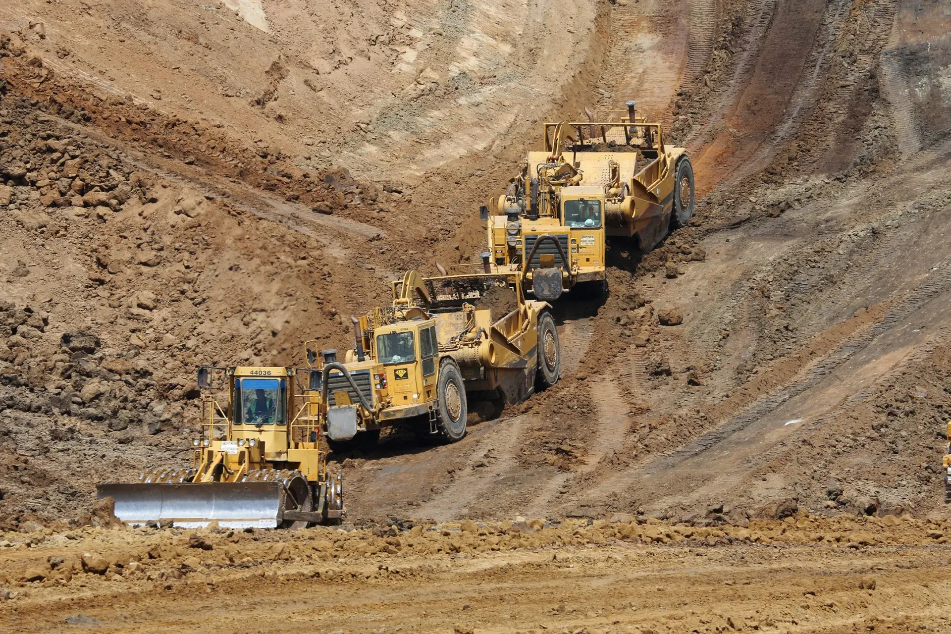
The Keys to Site Balance Last week, TraceAir hosted a webinar to discuss best practices in managing site balance, where we discussed why site...

1 min read

2 min read
The Keys to Site Balance Last week, TraceAir hosted a webinar to discuss best practices in managing site balance, where we discussed why site...
Hiring more people still matters in 2026. But for many builders, hiring alone will not solve the capacity problem.

4 min read
Welcome to 2024–a year filled with exciting opportunities and unlimited potential for homebuilders and land developers. As the U.S. continues to...