


Site Intelligence: How Land Teams Find That Headroom
Site intelligence gives land development teams visibility into grading, cut and fill, and progress to protect schedules without added headcount.





5 min read
Your PM walks the site every Friday. He takes photos, marks up the plans, catches problems. You trust him and your regular sub contractors. That process has worked for years. The walk itself is not the problem.
The problem is that a walk is not a measurement. Construction site monitoring with recurring aerial scanning adds the measurement layer your weekly walk cannot produce.
In a land development environment where the NAHB Housing Market Index has spent 25 consecutive months below 50, where earthwork runs 10 to 20% of your residential build cost, and where a single dirt balance error can cascade into a six-figure rework event, a presence is no longer enough to manage a project. You need a measurement system layered on top of it.
The weekly walk earns its place. Your PM identifies safety conditions, spot-checks subcontractor work, reads the site with experience no software can replicate, and builds the relationships that hold a project together. None of that goes away.
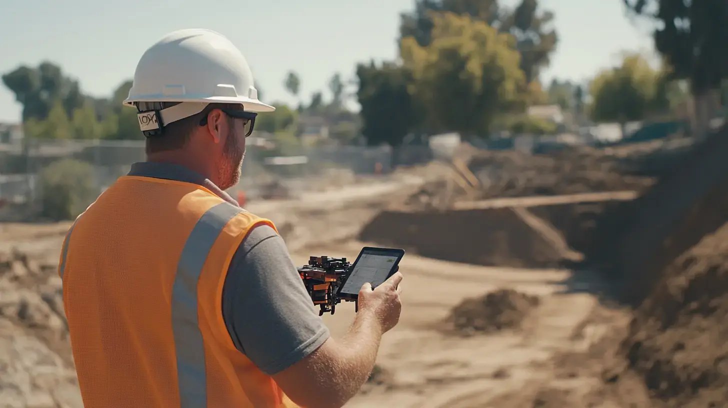
Here are 5 categories of information you need, none of which a PM can generate on foot manually:
The comparison that matters is not whether drone maps look better than CAD files. It is: who can actually understand your current site report without waiting for someone else to interpret it?
Most site reporting tools are built for specialists. They produce accurate, detailed outputs that require significant training to read. That is not a flaw in the tools, but it does create a handoff. The person who can read the data is not always the person who needs to act on it.
And between those two people sits a delay that compounds when conditions on the ground are moving faster than the reporting cycle.
The table below shows how traditional site monitoring compares with drone-based site reporting.
| Traditional site reports | Drone-based site reports | |
| Who creates it | Surveyor, civil engineer, or GIS professional. | Drone capture + automated processing: licensed surveyor for certification work. |
| What the team receives | DWG, PDF, CSV, GIS layers, or 3D surfaces. | Elevation heat map, contours, cut/fill heat map, overlays, 360 panoramas. |
| Who reads it fluently | Technical staff, others need an interpretation layer. | The full team, including less technical users, in a browser. |
| Time to produce | 2 to 3 days in the field for a 50-hectare site, plus processing. | Flight: 30-60 minutes. Processed deliverables within ~24 hours. |
| Typical cadence | Monthly or milestone-based | Weekly as standard. Daily during high-activity phases. |
| Key questions to answer | "Who can translate this for me?" | "What changed? How much is left? What do we decide today?" |
The construction industry's rework problem is well known. Earthwork is where land developers carry this risk most directly. Grading and site preparation commonly run 10 to 20% of a residential project's total build cost.
That is the phase where dirt balance errors originate, where subcontractor quantities go unmeasured, and where a shortage caught in week 3 costs a fraction of the same shortage caught in week 10.
Aerial scanning fits into the development timeline at every phase and not just during grading. The value it produces changes at each stage. However, the underlying logic stays the same: a measurement made now costs less than a correction made later.
Before breaking ground, LiDAR scanning captures true ground topography even through vegetation cover.
This is the baseline your cut/fill calculations depend on. A survey-grade topo that misses what is under the canopy produces a mass haul plan built on wrong numbers before the first blade hits dirt.
LiDAR delivers original ground data in fewer than three business days, which is fast enough to inform an active deal.
Every flight produces an updated cut/fill heat map showing the current surface against design. Your team sees which areas are over-excavated, which are under, and where the dirt shifted since last week.
Lot-by-lot pad verification, stormwater condition documentation, utility tracking, and HOA turnover packages all run from the same scan data.
OSHA 29 CFR 1926.20(b)(2) requires frequent and regular inspections by competent persons designated by the employer. In addition, daily inspections of excavations are required, plus additional inspections after rainstorm events or other hazard-increasing occurrences.
While TraceAir is not a substitute for the inspection experts mandated by OSHA, it provides the essential documentation that manual checks lack. By capturing exactly what was on site through high-precision measurements, TraceAir scans offer a superior level of data for resolving disputes with reliable, defensible information.
This is a self-assessment that separates active construction site monitoring from a walkthrough log. Run it against your current reporting process to see how TraceAir can provide you with value.
Site intelligence gives land development teams visibility into grading, cut and fill, and progress to protect schedules without added headcount.
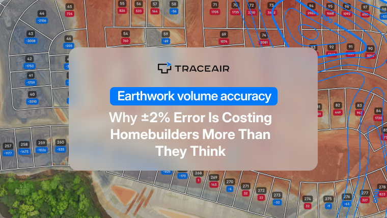
A 2% earthwork error can cost $120K+ on a 500-lot project. Learn where volume miscalculations come from and how aerial scans close the gap.
Stormwater compliance is decided on the dirt, not in the file cabinet. How multi-site builders close the gap between plan and site under the CGP.