


1 min read
Introducing: Map Rotation and 360° Panorama Upgrades
We’re excited to announce the launch of map rotation and upgrades to our 360° panorama feature within TraceAir. These major upgrades are available...




1 min read
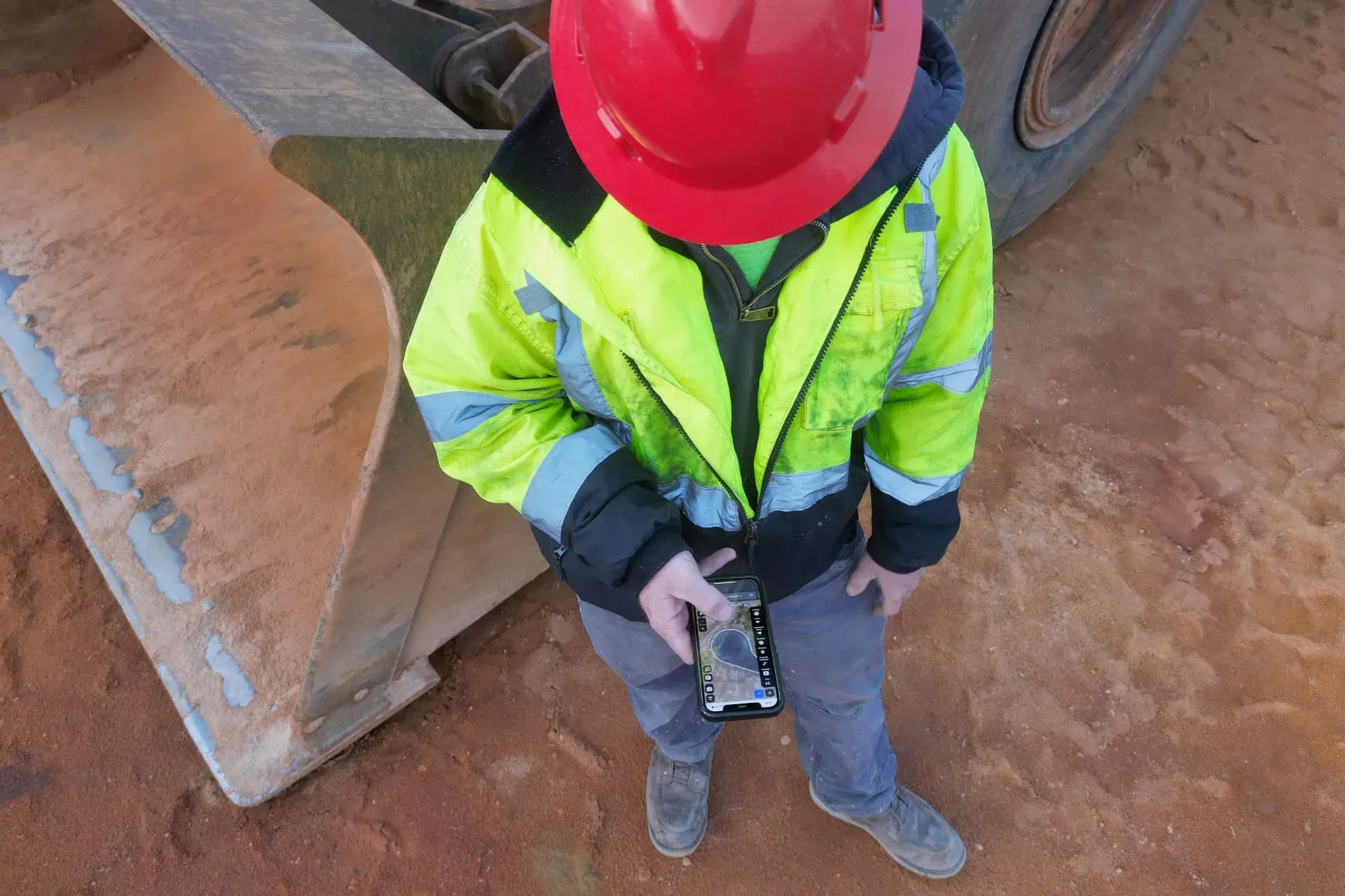
At TraceAir, we take great pride in ensuring that our software is easy to use and accessible by the whole team. Whether you’re in the office or out in the field, we want to make sure you’re able to utilize all of the tools and data within TraceAir.
That’s why we’re continually improving your experience across all platforms, helping you efficiently manage your projects, collaborate, and stay on schedule, from anywhere. We’ve recently improved our mobile platform, making it more powerful and easier to use.
TraceAir works on any web-accessible device, no apps or downloads needed. So, what can you do on mobile? Everything. All TraceAir tools work on mobile devices, allowing you to access project data and collaborate from anywhere, at any time, with ease.
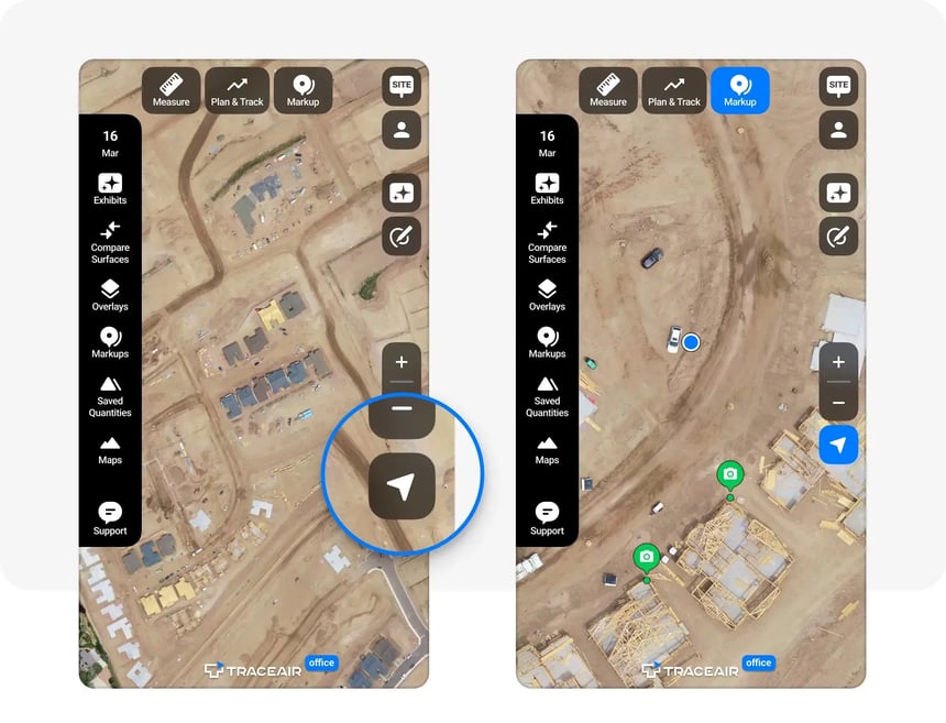
With just one click, the location button pings your exact location on the map. Upload photos, add notes and drawings, and update exhibits on the spot to effectively communicate with your entire project team.
Use cut/fill balance tools to track dirt movement and plan your operations accordingly.
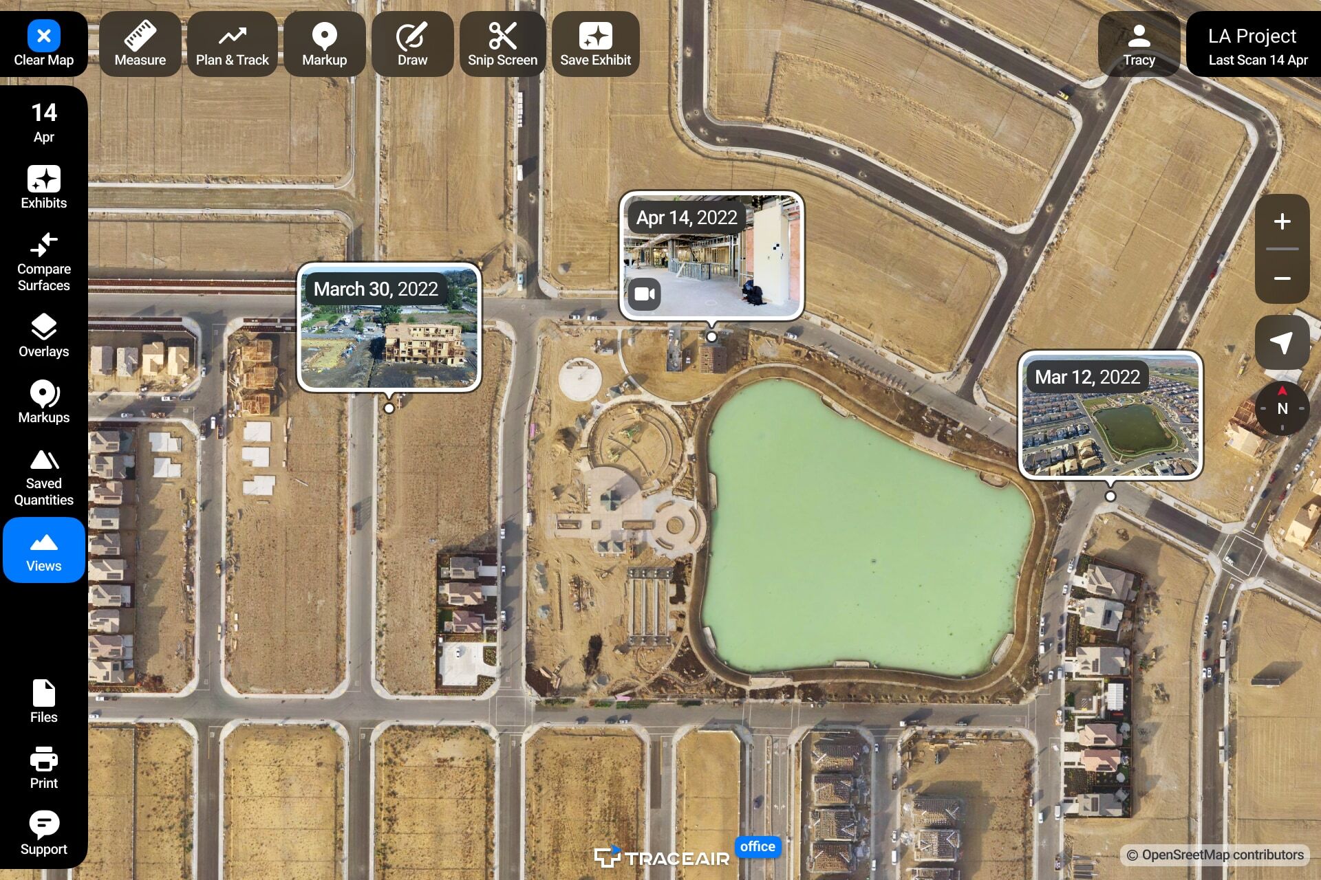
Compare previous and current scans to check progress. Overlay project plans, drawings, and exhibits to ensure progress aligns with design grade.
Use the measuring tools within TraceAir to measure stockpiles, calculate distances, and determine slope and grade with ease. These tools equip you with the data you need to make fast, informed decisions.
With these enhancements, we aim to help close the gap between field and office staff and empower you to make data-driven decisions from the palm of your hand. If you have any questions or feedback, please contact our team.
1 min read
We’re excited to announce the launch of map rotation and upgrades to our 360° panorama feature within TraceAir. These major upgrades are available...
1 min read
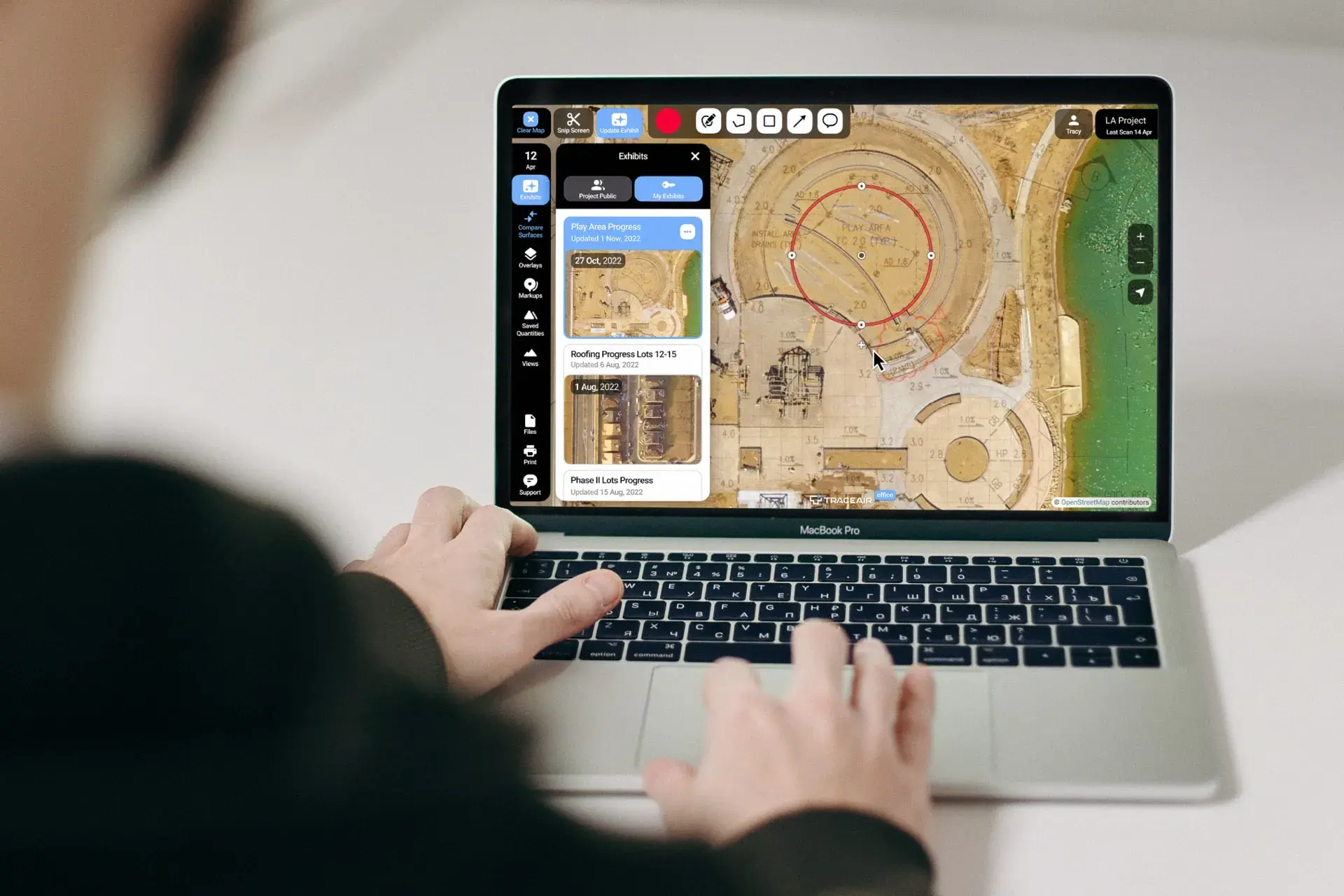
TraceAir is excited to introduce Exhibits, a new feature that makes tasks you already do in TraceAir even easier and more efficient. Exhibits...
1 min read
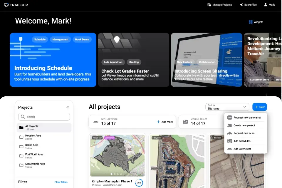
A New Look Thanks to your valuable feedback, we've created a refreshed and improved user experience that ensures efficiency and simplicity with...