It's important to know what to look for when it comes to introducing a drone program that will drive value in your organization. While there are many factors involved, here is our take on the most important aspects of an effective drone program.
What You Should Consider
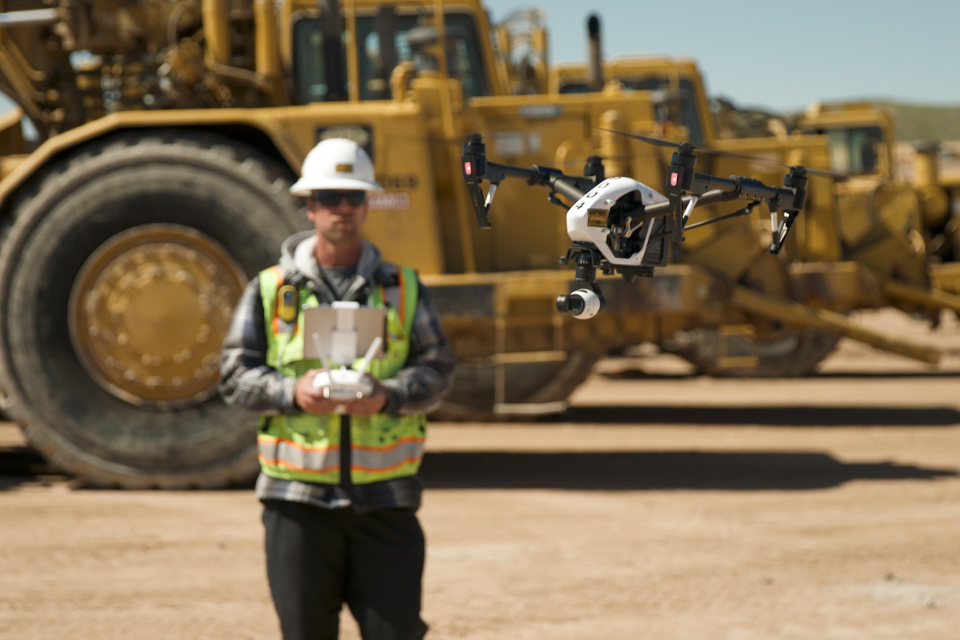
Simply put, all construction projects can benefit from using drones. When drones are used as a regular part of the building process, construction teams have access to accurate data captured frequently. This information is crucial to the safety and success of any construction project. For drones to deliver maximum value, it's important that they are managed effectively and operated by those with adequate training.
1. Drones are not toys, but tools.
Are you dabbling in drones, but not maximizing their potential? Drone technology is still new and can be intimidating to many, but they are transforming the construction industry. It is important to understand drones are not a toy or gimmick, but rather a real source of data and information that can be utilized for successful projects.
Drones capture data, but data is challenging to process and interpret. With the help of drones, construction teams can drastically reduce costs and increase productivity, but most drone programs don't maximize their true potential.
2. Consider a trial run with an experienced team.
Drones have changed the game in many industries, but they aren't for everyone. Before you commit to a drone program and purchase drones for your projects, it is important to consider whether your team can handle managing a drone program in-house or if it makes more sense to outsource to a third party. It can be expensive and time-consuming to purchase drones, train drone pilots, and process data in-house. Many construction teams benefit from using turnkey solutions, like TraceAir, to operate drone flights safely and efficiently.
3. Have a plan for your data.
An effective drone program will capture more than just pretty pictures; you will have massive amounts of data captured from drone flights. From data storage to data prep, drones can create a lot of information that you need to be prepared for. If you aren't already using cloud-based solutions for drones, now is the time! They'll help you store and access your drone data whenever and wherever you are. There are several solutions available, however you will benefit most from services that will process your data overnight, providing access as soon as the next day.
4. Maximize your data to improve construction operations
Now that your data is in the cloud and accessible from your computer and mobile devices, you'll need easy-to-use software will allow you to maximize workflows and improve construction operations, such as:
- Improve the accuracy of survey and inspection data, leading to greater predictive modeling. Drones make calculating material quantities for your projects very quick and simple. Drones can capture quality 3D data that will help you determine quantities, track stockpiles, measure site balance, account for bulk/shrink, and more.
- Improve the accuracy of equipment utilization and fleet management, leading to more efficient workflows, especially if your software provides tools that help optimize haul roads and other operations.
- Collaborate with project stakeholders and customers without making in-person site visits. Drones make it possible to track projects remotely, because they provide accurate 3D topographical information and capture as-built conditions using photogrammetry.
Find the best solution for your projects
Operating drone flights and processing data in-house is a strain on resources. If you're not maximizing your drone program's potential, TraceAir can help. TraceAir provides regular drone flyovers, so you don't have to pay for drones you're not using or take valuable team members away from operations. Data is processed overnight, so you have access to 3D topographical survey data the day after the drone flight. For more information on maximizing your drone program, contact TraceAir today.