2 min read
3 Tips for Staying on Top of Dirt Balance
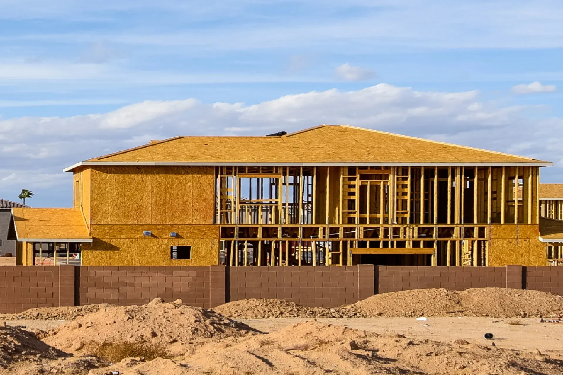
Managing dirt balance on a job site can be quite difficult. There is a lot to take into consideration and with plans constantly changing, it can...

2 min read
2 min read
Managing dirt balance on a job site can be quite difficult. There is a lot to take into consideration and with plans constantly changing, it can...
1 min read
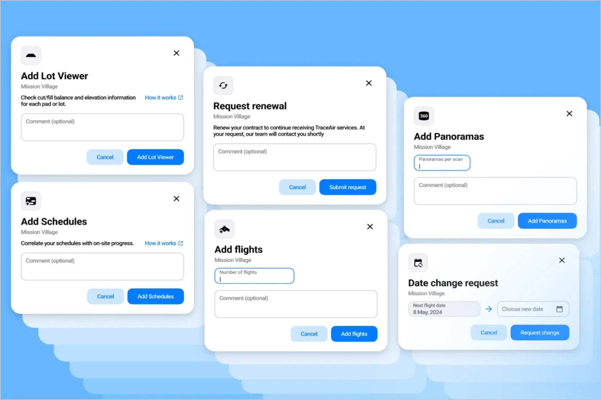
We are excited to introduce several new features within our Projects Portal and Dashboard that will enhance your experience, streamline your...
3 min read
Today kicks off the start of Construction Safety Week. Construction is one of the most dangerous industries to work in. Despite advances in...