5 min read
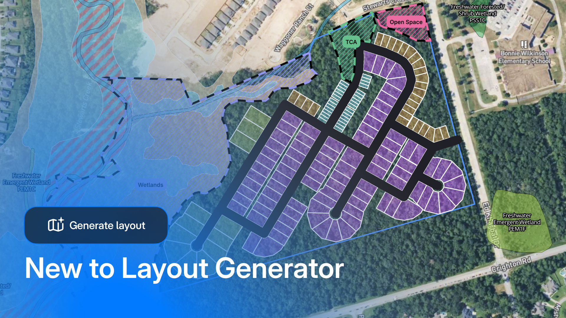
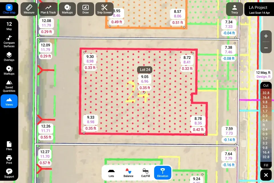
Meeting Housing Demand: How Treehouse Builders Accelerates Build-to-Rent Development with TraceAir
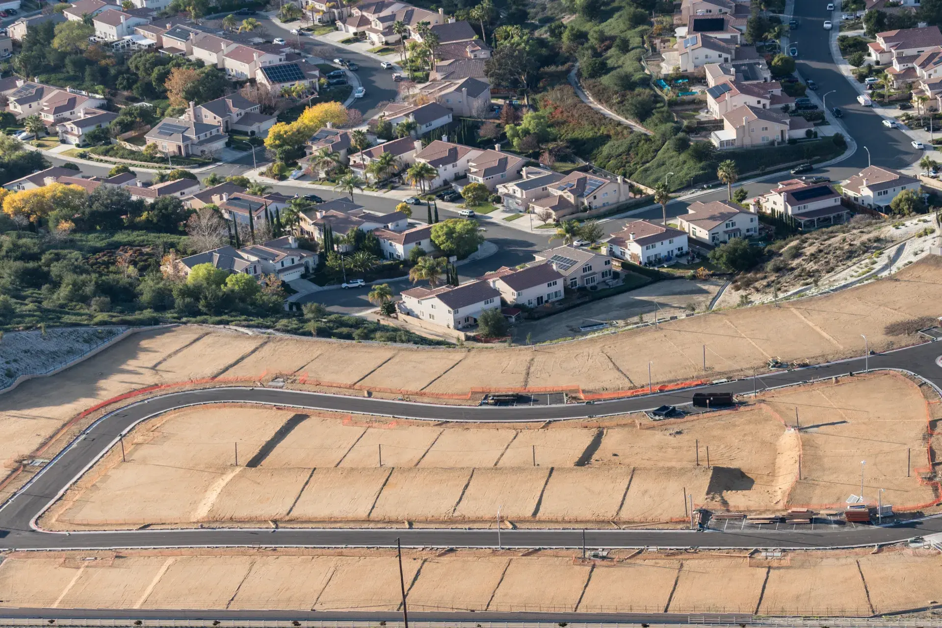
With the demand for rental properties rising and the American dream of homeownership becoming increasingly difficult to achieve, build-to-rent...