3 min read
Lighten the Load on Labor with TraceAir
Are you experiencing staffing challenges? You’re not alone. Although the need for new buildings — such as residential homes, master-planned...
Platform
Main Solutions
2 min read
TraceAir Technologies Inc. Updated on January 29, 2026

TraceAir enables users to quickly and effectively communicate visual information to all project teams, enhancing collaboration, and ensuring a shared vision. You can make more informed decisions, communicate project details, and share ideas with colleagues.
Global land developer, Brookfield Properties, manages over 800 properties, 375 million square feet globally, and has over 50 million square feet under active development. Brookfield’s Northern California division has been using TraceAir for several years to manage dirt balance, track progress, obtain measurements, and create a record of site history. In a recent scenario of where an inground cattle guard would be placed at the entrance to a property, Land Development Field Manager, Pedro Velarde, was able to use TraceAir to put together this image with measurements, notes, and arrows. Right from TraceAir, Pedro was able to share this image with the contractor and confirm that they were on the same page. This contractor was over two hours away from the job site. Traditionally, they would have had to visit the job site to obtain these measurements and come to an agreement.

This is one of the ways I really like using TraceAir, it is specific enough that everyone can see where the layout is going to be and how things are going to line up. I sent this to the contractor and the property owner and within a couple of hours, we all were in agreement. In the past we would have to meet on-site and take measurements, draw paint, discuss plans and literally see it to finalize this.”
— Pedro Velarde, Land Development Field Manager, Brookfield Properties
On Brookfield's Pier 70 project in San Francisco, Director of Land Development, David Greenstein, shared how he was able to markup the following graphic to share with the city when clarification was needed. David works closely with the city on obtaining permits and ensuring work is completed up to city codes and ordinances. When a city representative needed clarification of the exact location of where the lateral, service, and riser were installed, David was able to quickly put together the image below using TraceAir. The city representative shared that the image was “extremely helpful.”

TraceAir provides unlimited licenses so users can make the most of their data by sharing it with anyone who would benefit. In both of these scenarios, TraceAir was not only able to help Brookfield quickly create these informative images, but also:
TraceAir offers a state-of-the-art site development acceleration system for contractors and consultants. Achieve site balance, stay on schedule, and track progress remotely from any location using our cloud-based platform. Request a demo to learn more.
3 min read
Are you experiencing staffing challenges? You’re not alone. Although the need for new buildings — such as residential homes, master-planned...

3 min read
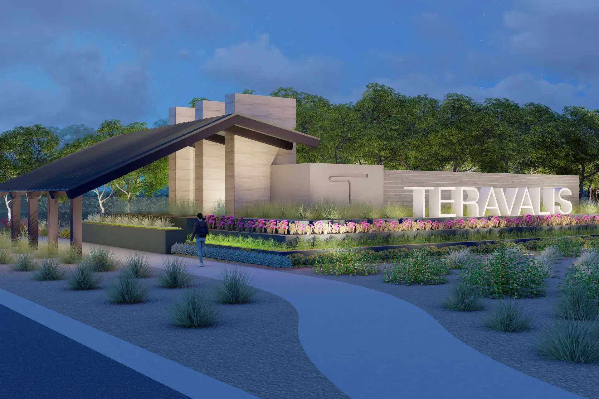
The Howard Hughes Corporation has broken ground on Teravalis, a 37,000-acre mixed-use master-planned community in Northwest Buckeye projected to...
.png)
3 min read
A renowned homebuilder with a legacy of over 40 years, M/I Homes is committed to crafting exceptional homes of superior design and quality. Having...