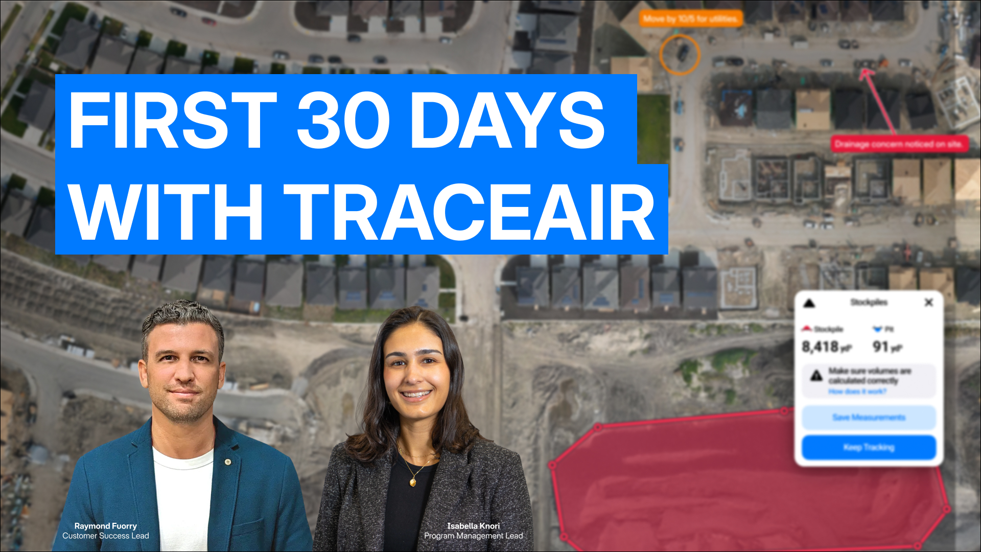
Your First 30 Days with TraceAir: A Blueprint For Success
You've made the investment in TraceAir, and now it's time to unlock its full value from day one.

1 min read
You've made the investment in TraceAir, and now it's time to unlock its full value from day one.
1 min read
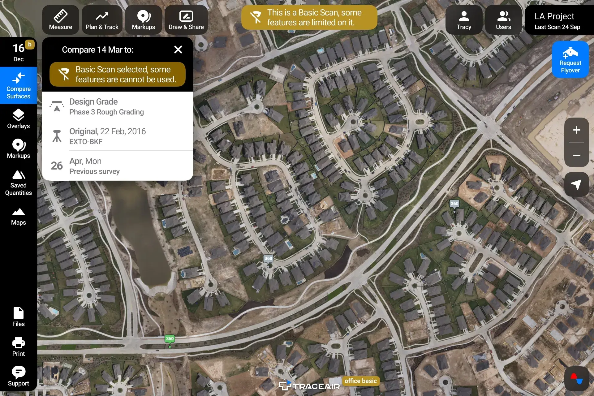
Don't Rely on Old Methods Did you know that TraceAir can help you verify billing quantities from your contractor and track progress of work...
2 min read
Lack of data and easy-to-use software tools to make daily decisions often prevent construction teams from making the right moves on time. According...