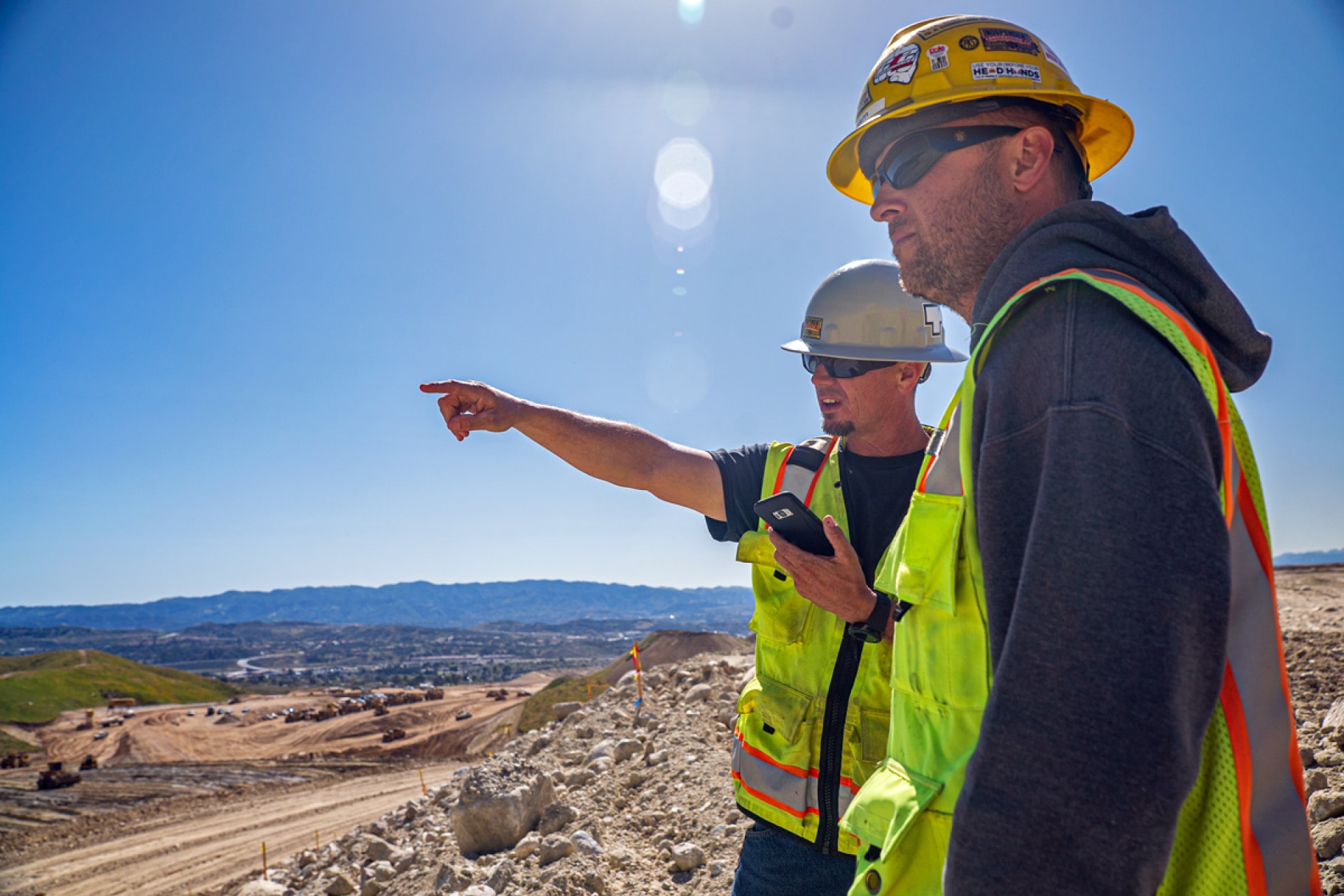
Empowering Land Development Managers
Land development projects leave little room for budget errors, and small problems can add up to huge headaches for project management. Land Development and Project Managers are forced to rely on engineers, surveyors, and contractors to get the answers they need because they lack the necessary tools to obtain accurate data so they can make decisions.
The investment in site intelligence software is easily embraced on large projects, but the cost can be prohibitive on small developments. Let's explore how investing in these tools can help with some common critical business issues (and save money!) on smaller projects.
Solving Site Balance Issues
Site balance calculation errors can add up to big expenses, like this customer of ours recently explained. This twelve-acre residential development began site development prior to their implementation of TraceAir, and unfortunately the engineer's estimate of required dirt imports was short by 12,000 cubic yards. Using regular drone flyovers and site intelligence software could have easily prevented this error.
TraceAir's 3D topographical maps and software allow for accurate cut/fill balance measurements as compared to design grade. Having TraceAir at the start of the project could have prevented this miscalculation and saved the owner approximately $7,000 in dirt import costs, which more than covered the cost of drone flights and software on this project!
Keeping Stakeholders Happy
Stakeholder communication is a constant issue for Land Development and Project Managers. On a mixed-use development in San Francisco, the development team was tasked with managing multiple stakeholders. Prior to using site intelligence software, the team tried to explain complex construction concepts using CAD files of construction plans as visuals, which were cumbersome and difficult to understand for non-technical professionals. To better communicate with stakeholders, the developer implemented TraceAir.
Using TraceAir's platform made it easy to explain difficult concepts using regularly-captured images overlaid with construction documents. This enabled them to present accurate, easy-to-understand visuals to their stakeholders. Meetings ran much more quickly, and TraceAir helped to minimize the amount of back and forth communication between the developer, contractor, and other project stakeholders.