4 min read
Faster Land Deals: How LiDAR Gives California Builders a Head Start
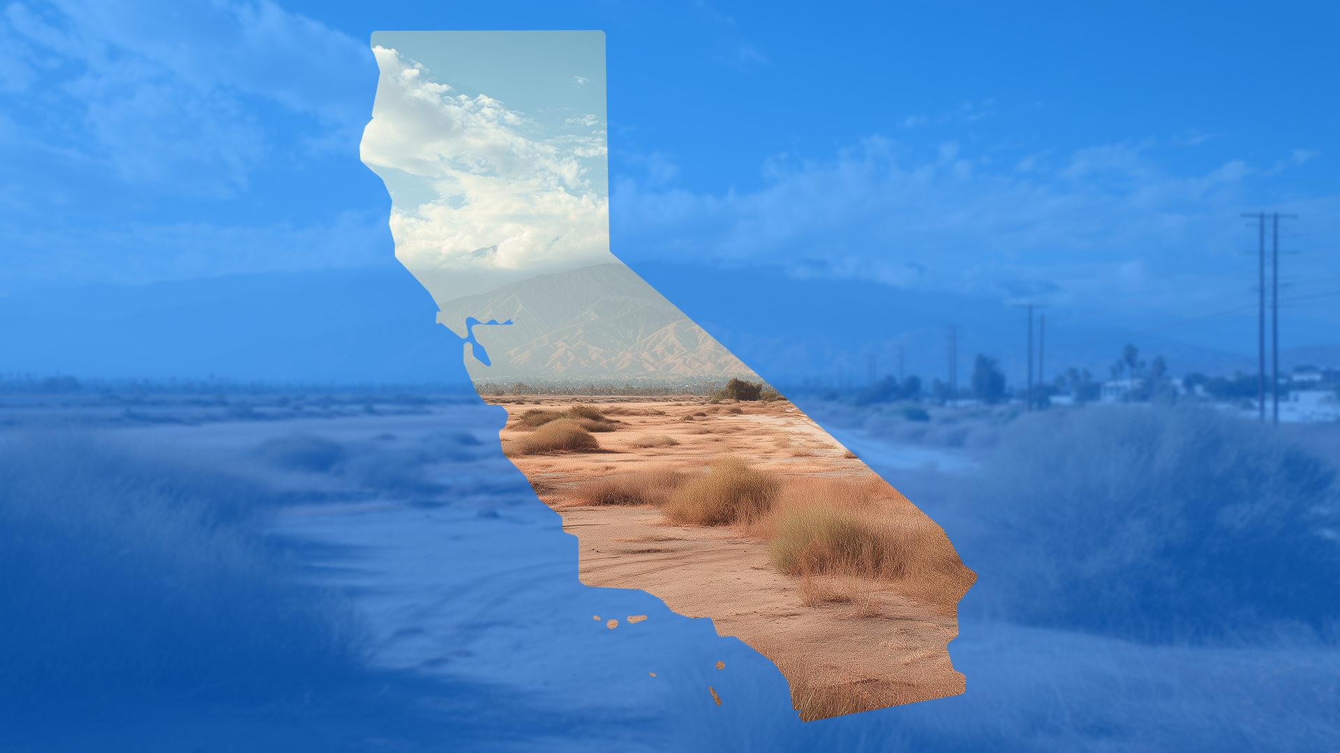
California land deals don’t sit still. By the time a parcel hits your radar, the entitlement path is already winding and the list of unknowns is...

3 min read
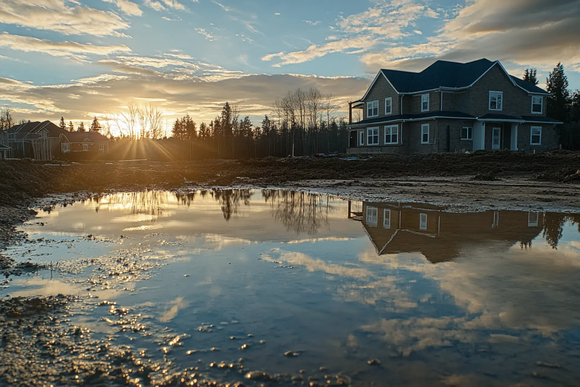
Flooded driveways and soggy backyards are more than just a homeowner’s nightmare—they’re a costly risk for homebuilders too. Proper lot slopes are critical to avoiding stormwater issues that can delay projects, lead to expensive repairs, and ultimately impact homeowner satisfaction. Our new Stormwater Drainage Reports are designed to help homebuilders and land developers proactively identify drainage risks, verify slopes, and document site conditions, keeping projects on schedule and reducing the chance of costly rework. Stay ahead of potential issues with insights tailored to real-world needs.
Stormwater Drainage Reports include both the Closed Depressions and Slope Reports, providing essential tools for proactive drainage management. With visual overlays and detailed analysis, this suite enables teams to identify low-lying areas at risk of water accumulation and verify slope compliance with design standards. Here’s how each report supports your project:
The Closed Depressions Report is a powerful visual tool that pinpoints low areas on the digital elevation model (DEM) with no natural outlets, where stormwater is likely to accumulate. By factoring in installed stormwater drains, it provides a complete view of potential pooling zones. Color-coded by depth, this report offers a quick, intuitive overview of flood risks, clearly highlighting areas that may need further attention. Delivered as an overlay file, it serves as a critical reference throughout the construction process, helping teams proactively manage drainage concerns as the project advances.
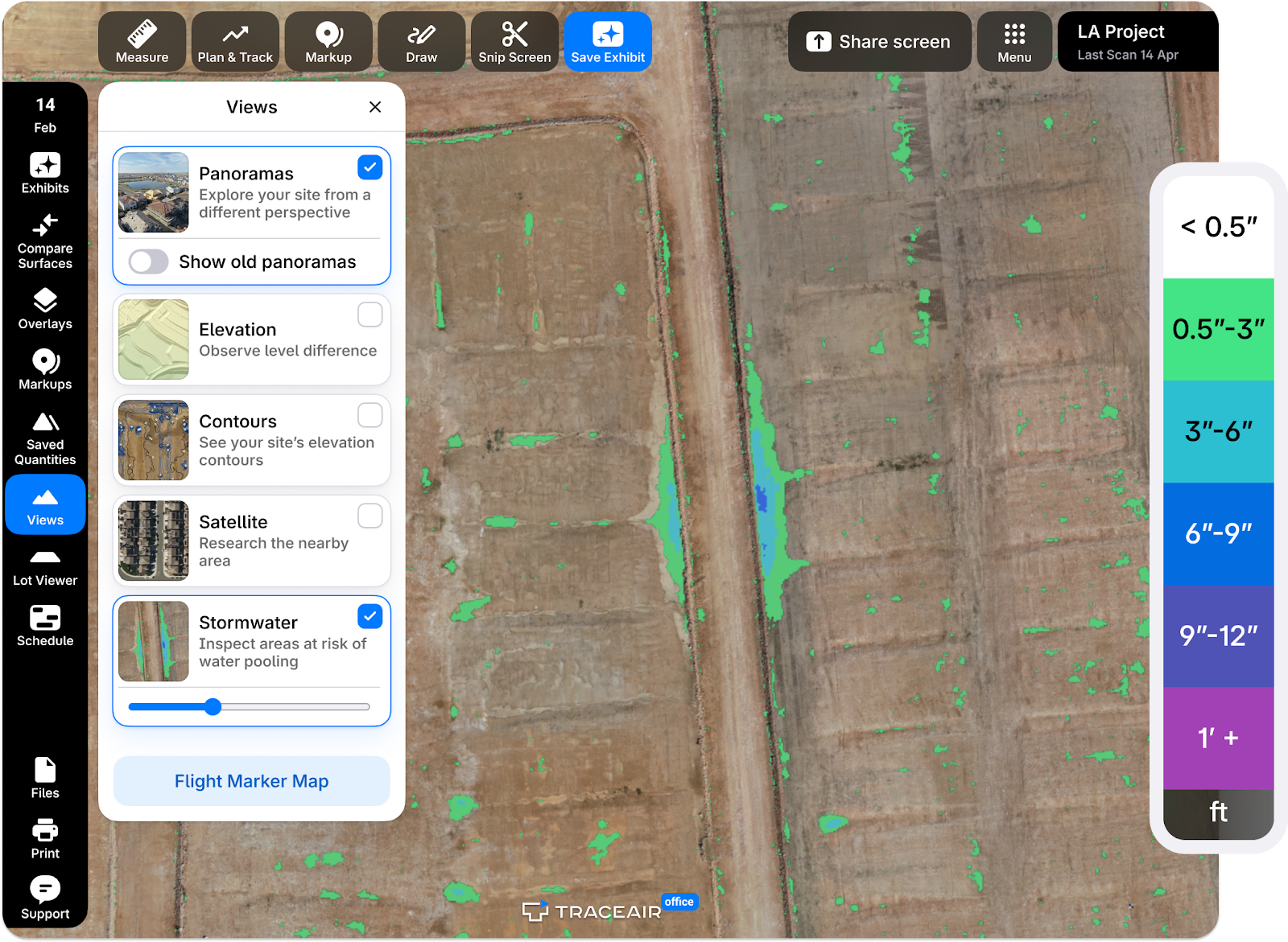
Use Cases for the Closed Depressions Report:
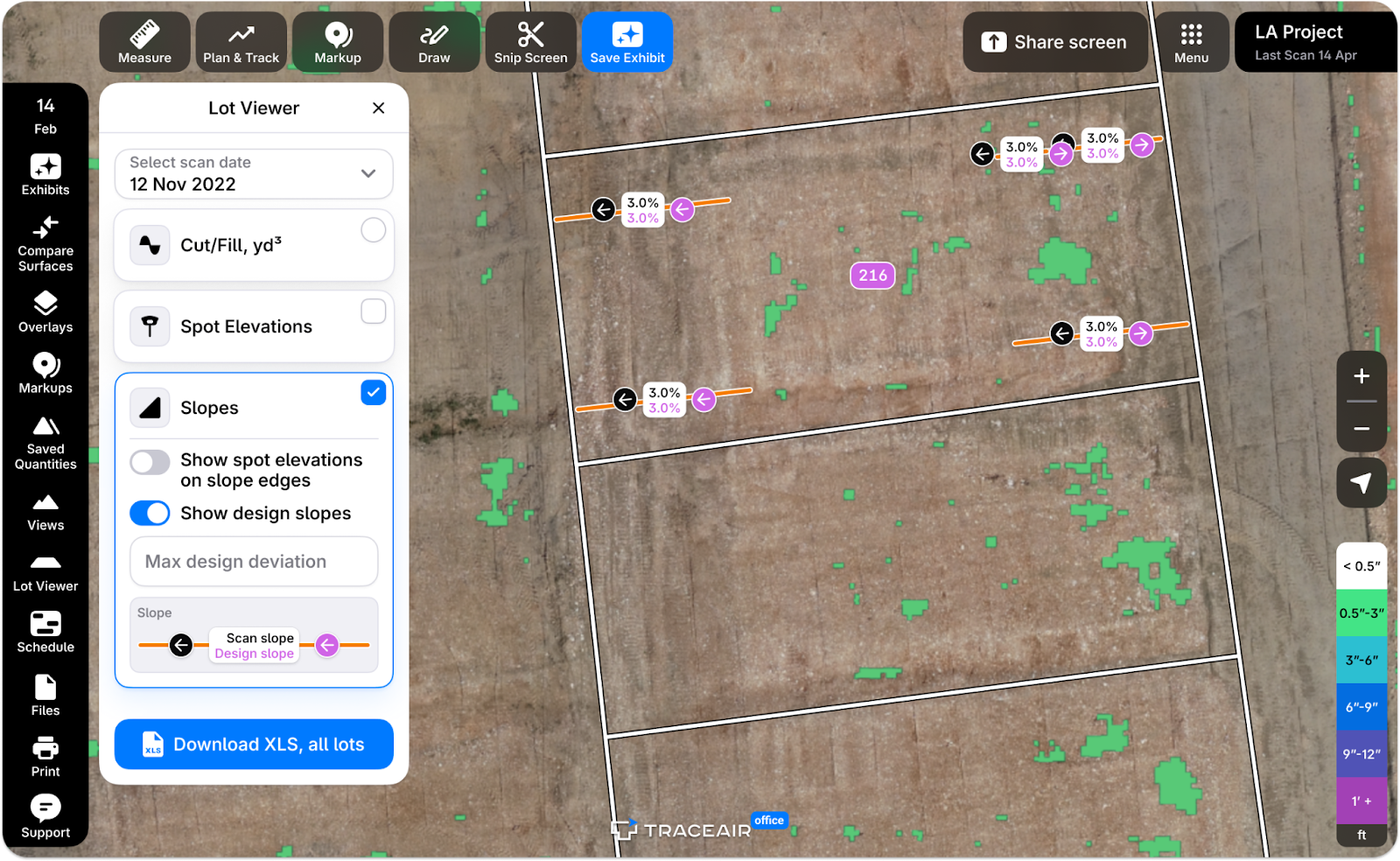
The Slope Report is a comprehensive tool that measures slope percentages at key points across the site—such as lot lines, driveways, lot-to-curb, and lot-to-road paths—and compares them to design grade (DG) requirements. By confirming slope compliance, this report helps prevent drainage issues, erosion, and potential HOA disputes. Delivered as both an overlay file and a downloadable detailed PDF, it provides a clear visual of slope compliance across the site and serves as a reliable documentation record, simplifying communication and accountability among teams.
With TraceAir’s Stormwater Drainage Reports, you can tackle stormwater drainage issues head-on, supporting efficient site planning and proactive management. This suite of tools empowers homebuilders and land developers to make data-driven decisions, prevent costly disruptions, and ensure that their projects meet high standards of quality and compliance.
Ready to enhance your projects stormwater management? Current users, reach out to your dedicated account manager to add this feature. New to TraceAir? Schedule a demo to learn how our simple yet powerful software transforms site management with tools designed to streamline every stage of your project and drive success.
4 min read
California land deals don’t sit still. By the time a parcel hits your radar, the entitlement path is already winding and the list of unknowns is...
3 min read
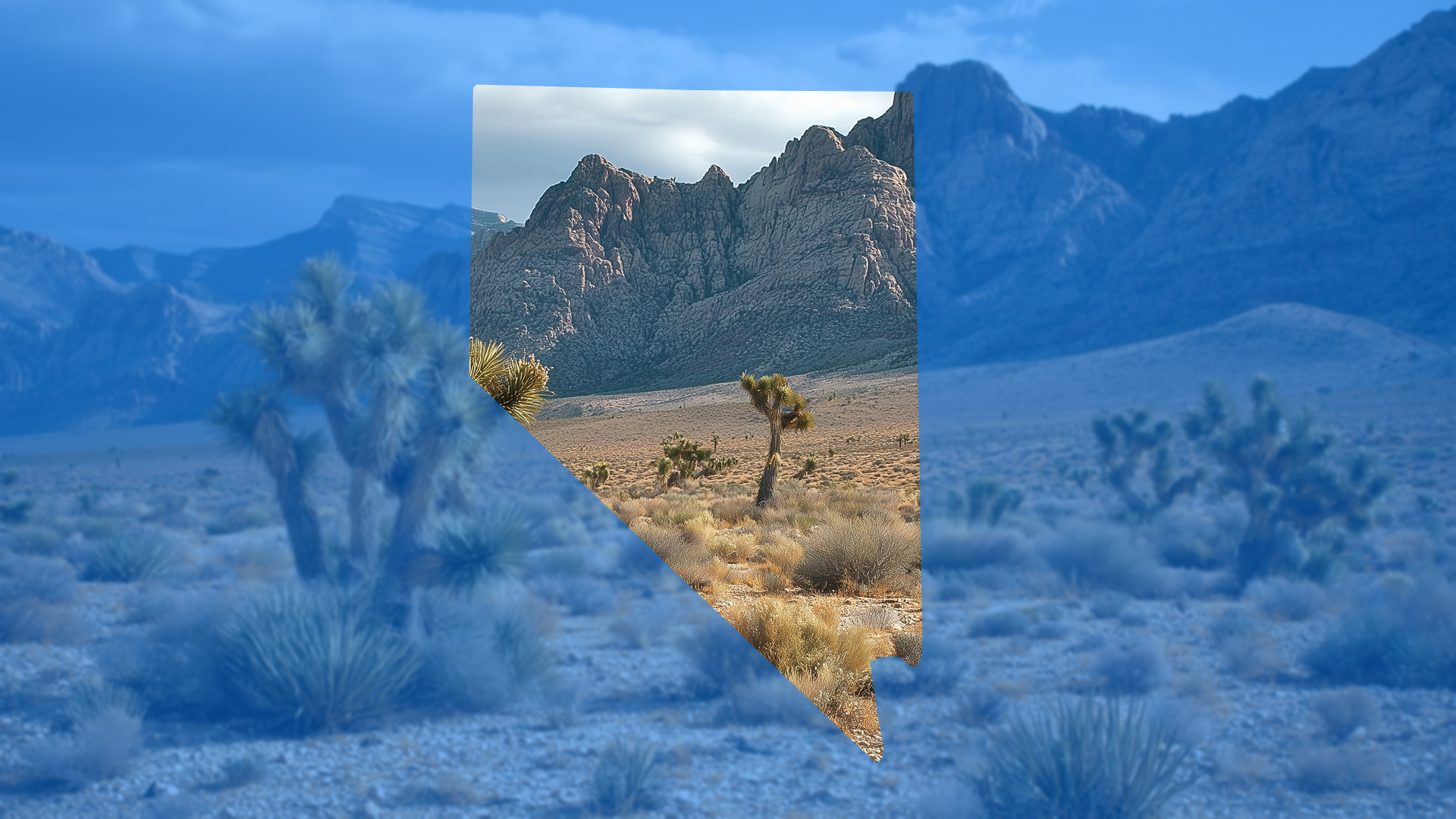
Monsoon season makes the Las Vegas Valley a study in extremes. Weeks go bone-dry, then a slow-moving cell drops a month’s rain in under an hour....
Land banking depends on a recurring judgment call: when a builder requests capital against horizontal development milestones, the land bank has to...