.png?width=860&height=788&name=654c0326843eb347138424e9_russel%20scan%20ipad%20(2).png)

2 min read
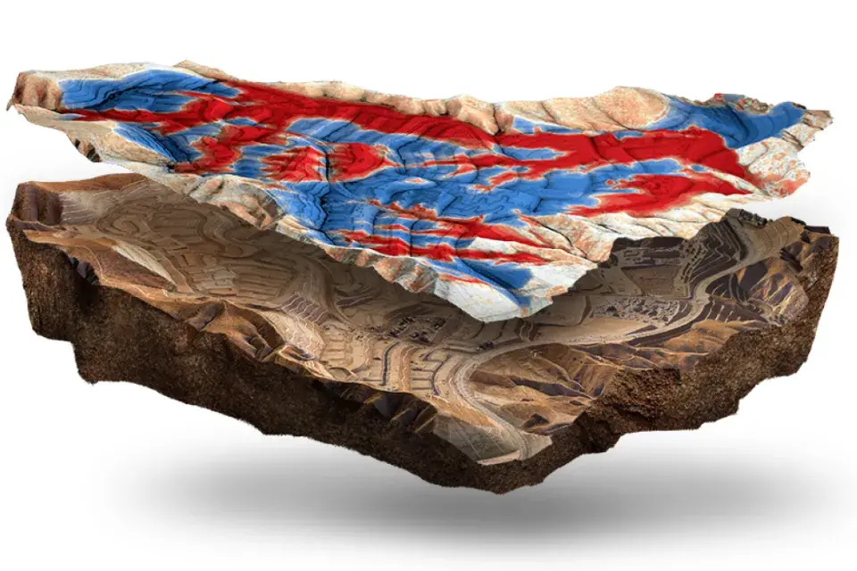
Reflecting on a Remarkable Year: TraceAir’s 2024 Highlights and a Sneak Peek into What’s Next
As 2024 comes to a close, we’re taking a moment to celebrate a year full of innovation, growth, and exciting milestones at TraceAir. This year, we...