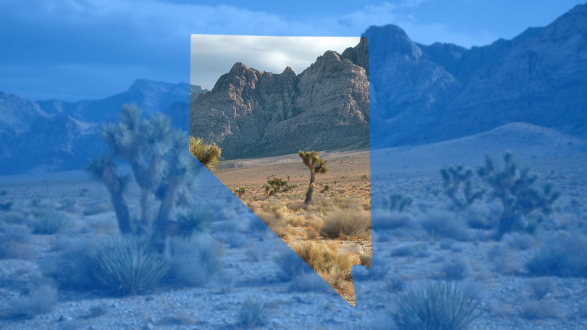
Monsoon season makes the Las Vegas Valley a study in extremes. Weeks go bone-dry, then a slow-moving cell drops a month’s rain in under an hour. This isn’t hypothetical: Southern Nevada entered summer 2025 with flood watches and fast-hitting storms, and July cells put more than an inch of rain over parts of the northwest valley in an afternoon. In a basin that averages roughly four inches a year, those bursts are enough to put lots, streets, and utilities to the test.
The divisions that keep schedules intact don’t out-guess the weather; they align plans to real ground conditions, adjust storm preparation to meet Nevada’s new Monsoon seasonal reality, and carry inspection-ready stormwater evidence so approvals hold when the sky opens.
Why Vegas flash floods overwhelm paper drainage
Desert storms don’t ramp up slowly—they pop and dump. A single cell can drop about an inch in under an hour, which on a 20‑acre phase is roughly 540,000 gallons looking for the fastest path downhill. Hard, crusted soils shed that water and pavement speeds it up, so flow concentrates in dry washes and spreads across the broad skirts of alluvial fans—the cone‑shaped aprons of sediment around the valley. The catch: many grading plans and older topo bases smooth out the very features that steer that water—shallow swales, small breaks in slope, and the toe‑of‑fan transition where sheet flow suddenly gathers.
When your “paper” surface ignores those micro‑pathways, runoff won’t follow your arrows; it follows gravity—across pads, into trenches, and through half‑built streets. That’s when the cascade starts: inlet protection blown out, rills carved into borrowed slopes, crews sent back to regrade, inspectors writing up BMP failures, and schedules slipping while change orders get sorted.
The root cause isn’t effort—it’s visibility. If you can’t see the real ground and verify the controls you’ve installed, updates become unreliable, disputes drag on, and you lose hours to windshield time fixing preventable mistakes.
Build on real ground not assumptions
Start with a stripped, bare-earth model that actually shows how water wants to move—swales, slope breaks, and subtle fans that tree cover, rubble, or legacy grading can hide. Overlay inlets, swales, and outfalls on that current surface before mass grade to catch conflicts and adjust pads while changes are still cheap. This is the same “visual proof for every phase” discipline we use in our SWPPP posts—site intelligence that turns guesswork into shared evidence.
Size design storms to Nevada reality
Model against short-duration intensities that match local experience (e.g., NOAA Atlas 14 values) so your scenarios reflect the real stress cases. Store your chosen return periods and assumptions alongside the visuals so reviewers and internal teams can see inputs, not just outputs. When your storm sizing is transparent and defensible, approvals move faster and field teams aren’t stuck re-explaining the math.
Verify grading and BMPs before the next cell
The cheapest time to fix drainage is before it’s tested. Treat pre-storm verification like an inspection you give yourself: time-stamped photos pinned to key locations, fast cross-sections to confirm slopes/benches, and quick checks that temporary controls are installed to spec (inlet protection, check dams, stabilized entrances, riprap sizing). This is the SWPPP playbook we’ve championed elsewhere—phase-specific documentation that shows both function and proof so inspectors (and your own leaders) can say “yes” without a second visit.
Run a simple rain-event workflow
Make your response repeatable:
- Pre-storm at first light: verify critical grades, inlets, and temporary BMPs; capture photo evidence and a couple of cross-sections at known risk points.
- During peak heat/midday: keep crews out of the sun—use remote uploads for progress photos and short clips; approve from the office with map-tied context.
- Within 24 hours post-storm: re-shoot the same pins and sections; mark pass/fail, assign fixes, and close the loop with “after” proof.
That one-page routine keeps people safe, shortens approvals, and prevents the slow bleed of rework tickets that follow undocumented storms.
Keep inspectors and corporate confident with shareable evidence
When everyone—field, inspector, division, corporate—can see the same map, photos, overlays, and pass/fail status, you stop losing days to “one more update.” Multi-site dashboards surface blockers across projects; lot-readiness views make next steps obvious; historical scans (“Time Machine”) answer what changed and when in minutes. You reduce windshield time, resolve contractor questions faster, and replace ad-hoc reporting with clean rollups leadership can trust.
Case example northwest valley phase avoids washouts
Ahead of an incoming cell, a team compared a stripped-surface model to design and spotted a subtle fan break that would have pushed sheet flow across three pads. They cut a temporary interceptor swale, upsized inlet protection per plan, and documented everything with map-tied photos and two cross-sections. The storm hit that afternoon; there were no lot washouts, no rework tickets, and the phase schedule held. The difference wasn’t heroics—it was real ground, right-sized storms, and inspection-ready evidence.
Bottom line for Nevada builders
In the Mojave, flash floods form fast and follow the terrain you actually have—not the surface you wish you graded. Builders who base plans on high-resolution ground models, size storms to local intensities, verify drainage and BMPs before weather arrives, and keep a visual paper trail avoid costly rework, pass inspections, and keep schedules moving when the monsoon shows up. If you want this playbook templatized for your next phase, we can map your risk points, set up the evidence workflow, and align stakeholders in a single review.