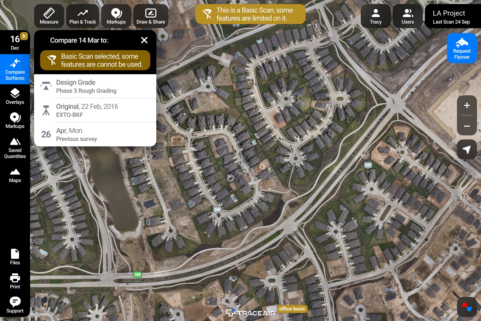
Basic vs. Advanced Scans
We recently released an update to our platform that differentiates Basic scans from Advanced scans. Many of our users request a combination of basic and advanced scans on their projects, and they need an easy way to identify what kind of data their scan contains. Now all basic scans will be labeled and only applicable tools will be visible in the TraceAir platform.
What's the difference?
- Basic scans are visual scans that allow users to run basic measurements (stockpiles, cross sections, distances and areas), compare the current conditions to 2D plans, and assess the overall progress of the job.
- Advanced scans contain an accurately georeferenced topo-map, therefore complete volumetric analysis can be done based on that data. Users have access to TraceAir's entire suite of tools for site work optimization.
Basic scans are practical
TraceAir's Basic scans still pack a big punch. These visual scans allow project teams to improve several workflows, including tracking progress remotely to save time traveling between job sites. Calculation tools like measuring stockpiles makes measuring materials much simpler. And the easy-to-use platform is especially helpful for project team and stakeholder coordination.
Even without volumetric information, many customers use Basic scans across their entire portfolio. When viewed from the TraceAir dashboard, executives can see all their projects in one place.
A deeper dive into advanced scans
TraceAir's advanced scans provide comprehensive data about site conditions, which allows users to manage site balance for large or complex grading projects. Site balance has one of the biggest impacts on a project's budget and schedule, yet it's one of the most difficult things to manage during the site development phase. Calculating site balance doesn't have to be hard (or expensive!) if you have Advanced scans and TraceAir. 3D topographical surveys captured by drones are far less expensive than typical surveying, and TraceAir's site intelligence software enables teams to track site balance weekly.
Advanced scans also become handy when you want to be able to verify the grading bills, and measure the volumes moved to date or since the original ground, which could be painful for both large and smaller job sites.