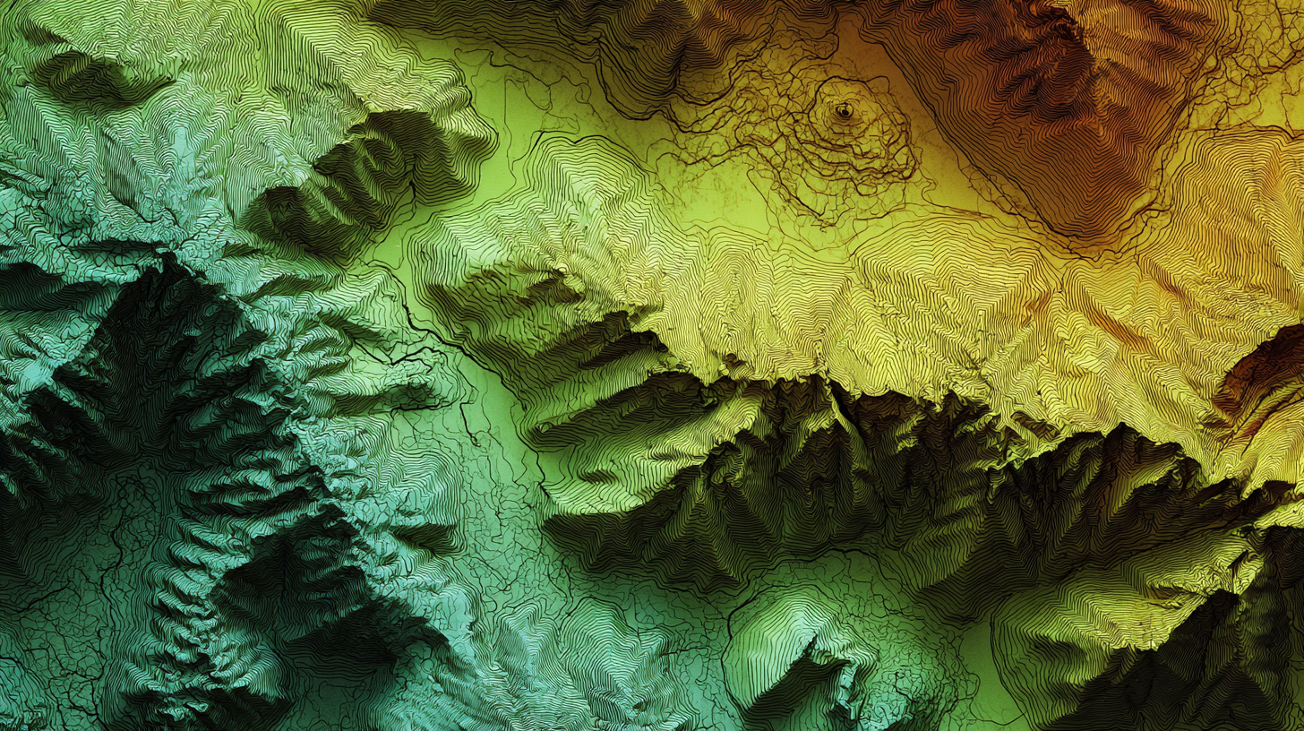
From acquisition to closeout, successful land development depends on making smart, informed decisions at every phase. Whether you're building a single-family neighborhood or a large-scale master-planned community, having access to accurate, up-to-date topographic data is essential.
That’s where LiDAR comes in. With high-fidelity elevation data—even through dense vegetation—LiDAR helps teams plan smarter, track progress, and avoid costly surprises. Below are eight key moments when LiDAR can deliver major value on your project.
1. Land Acquisition: Make Smart Decisions Upfront
Before you purchase a site, you need to know what you’re really getting. Relying on Google Earth or county-provided data is risky and outdated. LiDAR provides fast, detailed elevation and terrain data to help you:
- Identify slopes and grading challenges
- Understand drainage patterns
- Assess buildable vs. unbuildable areas
- Compare multiple parcels side-by-side
Why it matters: You can avoid purchasing a site with costly unknowns and negotiate from a position of knowledge. When topography, slopes, and drainage are clearly understood from the outset, you minimize risk, plan budgets with greater precision, and make confident, informed decisions that protect your investment. This gives your team a head start on planning—before the property even changes hands—and a competitive edge when it comes time to bid.
2. Before Permitting: Submit with Confidence
Municipal approvals often hinge on having accurate, defensible data. LiDAR supports high-quality submittals for:
- SWPPP plans (stormwater runoff, slope data)
- Grading permits
- Environmental compliance documentation
Why it matters: Inaccurate or incomplete submittals can delay the permitting process by weeks or even months, pushing back your entire project timeline. With LiDAR-enhanced data, you reduce RFIs and resubmittals, demonstrate due diligence, and position your team as proactive partners in the review process. Faster approvals mean faster mobilization—and ultimately, a faster path to revenue.
3. Pre-Design Planning: Build Smarter Plans
One of the most valuable things you can do before design and grading begin is capture the site’s original ground (OG) topography. LiDAR allows you to scan the site—through vegetation, over varied terrain, and before any equipment disturbs the surface—to preserve an accurate record of existing conditions. This is especially important for sites with:
- Dense vegetation
- Significant topographic variation
- Limited prior survey data
Why it matters: You can design with real-world conditions in mind—factoring in and even taking advantage of existing topography—reducing the risk of rework, unnecessary earthmoving, and costly design changes down the road. With accurate, site-specific data from the start, your team can design with confidence—avoiding guesswork and creating plans that are both practical and cost-effective.
I am proposing using LiDAR for all our OG topography, regardless of project size, because it is significantly more accurate and faster than other methods.”
– Brian Mangano, Director of Regional Development at Brookfield’s Southern California Division
Learn More
4. Earthwork and Grading: Plan Smarter, Budget Accurately
LiDAR gives you the data you need to plan and budget with confidence by comparing existing site conditions against your grading design. With precise insights into:
- Cut and fill volumes
- Accurate budgeting due to understanding in-fill/ex-fill before dirt has been touched
- Mass grading progress
- Potential over-excavation or under-fill
Why it matters: You’ll avoid planning for unnecessary earthmoving and catch issues early—before they derail your schedule or inflate your budget. Continuous visibility into grading progress helps validate contractor work, keep haulers efficient, and ensure you're not paying for work that doesn’t match the plan. It’s one of the most effective ways to keep earthwork on time, on budget, and on target.
5. Remediation Grading: Resolve Setbacks Quickly
If an area wasn’t graded correctly or unexpected conditions arise, LiDAR scans can help:
- Detect grading errors
- Quantify how much material needs to be added or removed
- Plan and verify corrective actions quickly
- Get accurate numbers for deep ditches
Why it matters: You can address issues without relying solely on visual inspections or shutting down the jobsite. When timelines are tight, having quick, measurable insight into what needs to be fixed helps you resolve problems faster and avoid costly chain reactions that impact other scopes of work. Plus, LiDAR provides a clear record of what was corrected and when—useful for documentation and accountability.

6. Post-Storm Assessment: Respond Quickly and Accurately
Severe weather events can undo weeks of progress in a matter of hours. A post-storm LiDAR scan helps you:
- Evaluate erosion or slope failure
- Identify ponding, sediment displacement, or washouts
- Quantify areas requiring remediation
Why it matters: Instead of relying on visual inspections alone, you’ll have measurable, objective data to understand exactly what’s changed and what needs to be fixed. This leads to faster remediation planning, clearer communication with contractors, and documented evidence to support insurance claims or change orders.
7. As You Move Into the Next Phase: Vegetation Has Accumulated
If it’s been weeks—or months—since your last grading scan, vegetation has likely regrown—especially in areas awaiting vertical construction or utility installation. That overgrowth can obstruct visibility and limit traditional survey accuracy. LiDAR’s unique ability to penetrate vegetation provides:
- A clear view of actual surface elevations
- Updated data on lot readiness, grading progress, and utility trenching
- Reliable insights for re-mobilization planning
Why it matters: As you transition into the next phase, you’ll start from a place of confidence—no guesswork, no surprises, and no wasted time on rework. When you can see exactly where things stand beneath the vegetation, you can sequence work more effectively, coordinate teams better, and avoid costly missteps when trades return to the site.
8. Closeout and Dispute Resolution: Protect Your Project
At project wrap-up, use LiDAR to document final conditions, including:
- As-built verification
- Final grading compliance
- Billing validation and contractor dispute resolution
Why it matters: Objective, timestamped LiDAR data gives you the proof you need to verify completed work, support payment decisions, and defend against potential disputes. It also provides a final snapshot of the site for municipal approvals or future maintenance. This kind of transparency at closeout sets the tone for smoother handoffs and stronger working relationships across the board.
Turn Data Into Action with TraceAir
The real power of LiDAR lies in how you use it—and that’s where TraceAir makes the difference.
We don’t just deliver high-fidelity elevation data—we make it actionable. With intuitive tools for evaluating cut and fill, tracking grading progress, verifying pad readiness, and analyzing changes over time, TraceAir turns complex terrain data into clear next steps.
TraceAir’s LiDAR services are fast, affordable, and delivered in as little as three business days—so you can keep your project moving without delays.
Ready to see how TraceAir brings LiDAR to life? Schedule a demo today.