2 min read
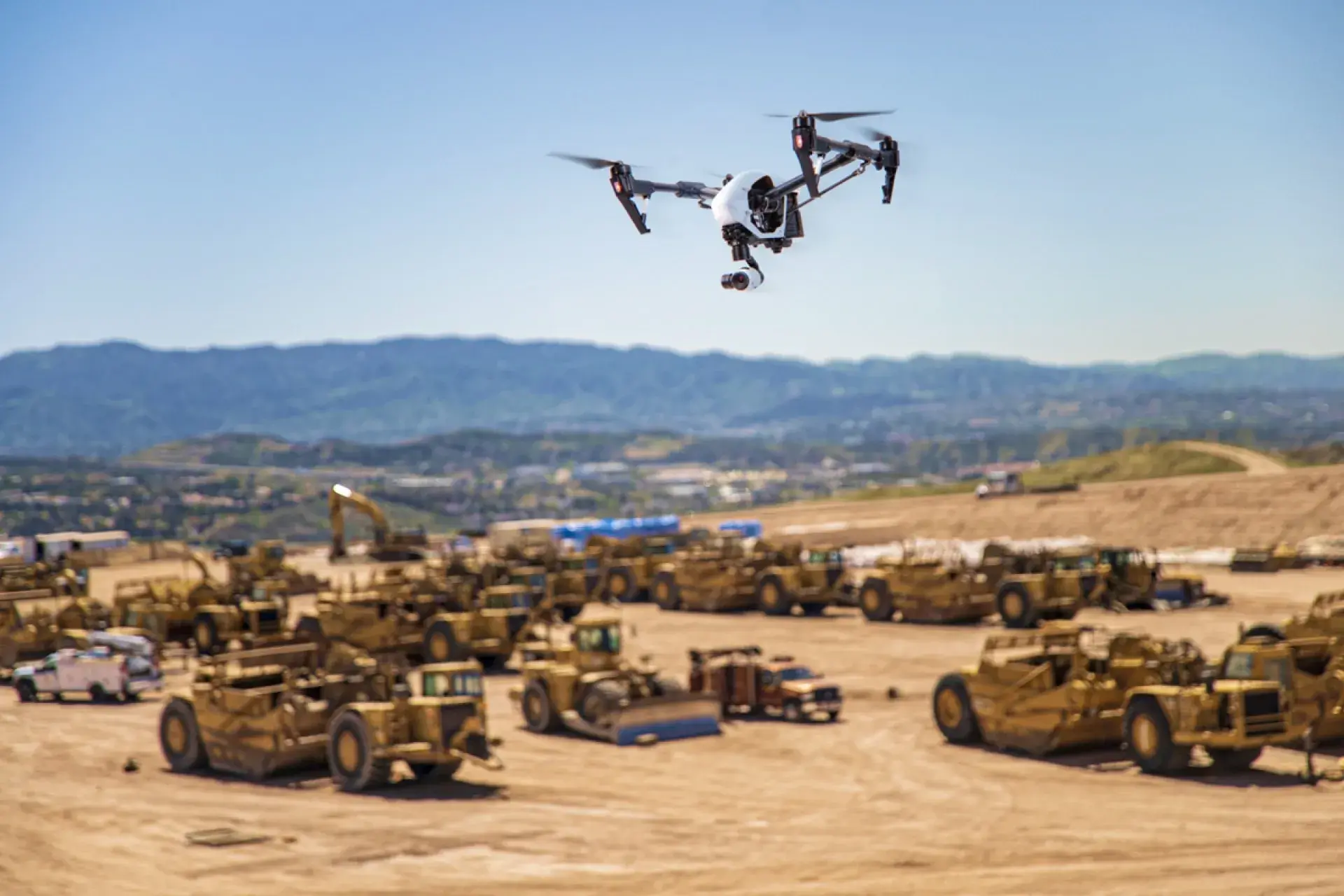
Photogrammetry and Why It Matters to Homebuilders
You probably already know what surveying is and understand the methods behind it. Land surveying is the method of determining the terrestrial or...

2 min read

2 min read
You probably already know what surveying is and understand the methods behind it. Land surveying is the method of determining the terrestrial or...
1 min read
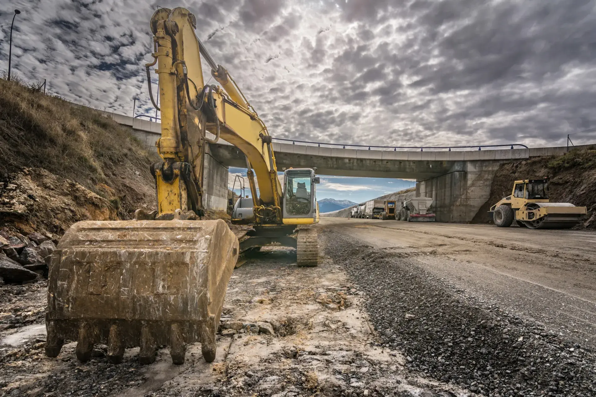
Road work is moving toward tech Until around five years ago, road design and construction rarely used any form of digitization or analytics, but...
1 min read
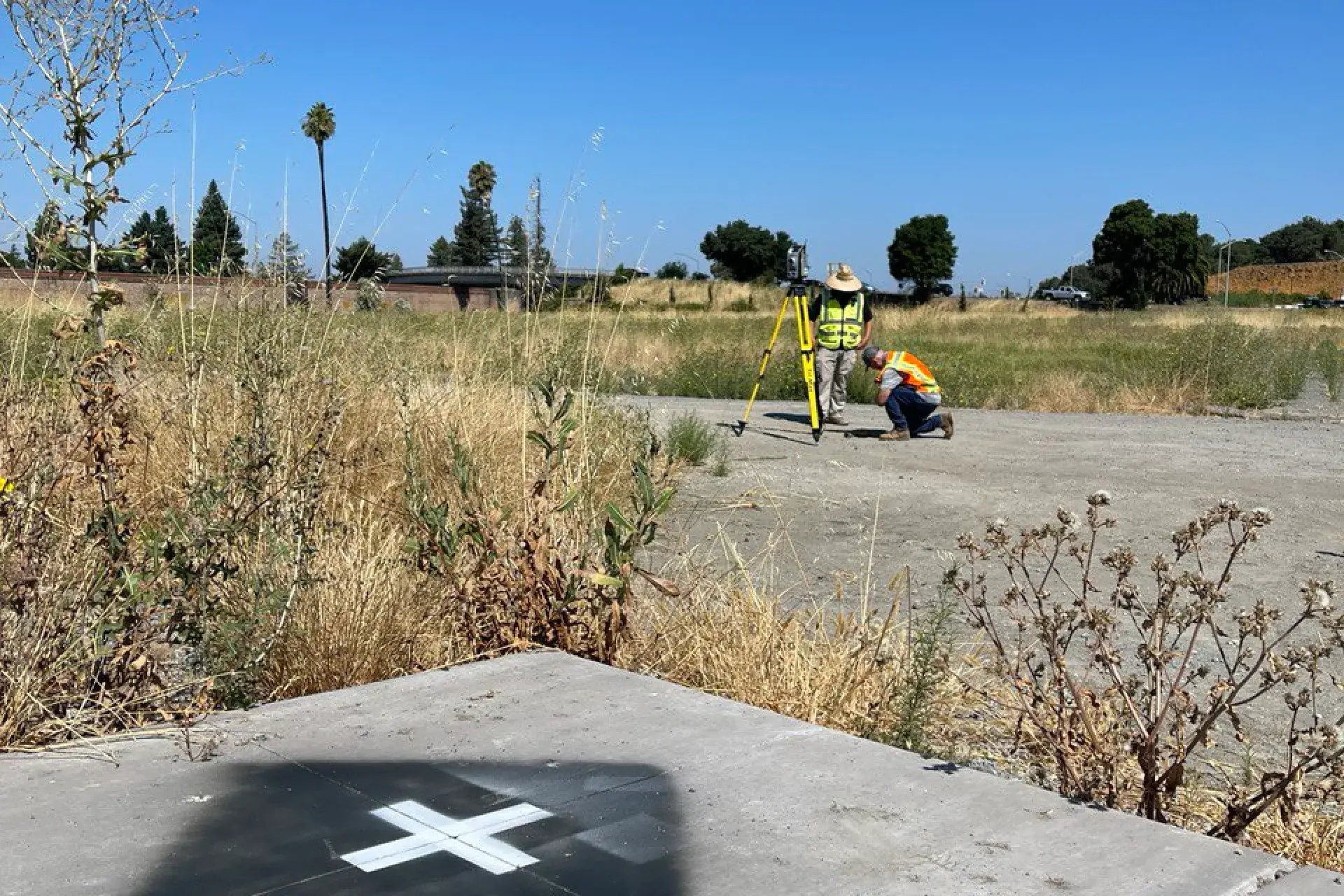
TraceAir Surveying Inc., a subsidiary of TraceAir Technologies, Inc., is thrilled to now offer flight marker placement and maintenance in select...