


6 min read
Balancing Dirt, Dollars, and Deadlines: Hillwood Communities’ Secret to Efficient Master-Planned Development
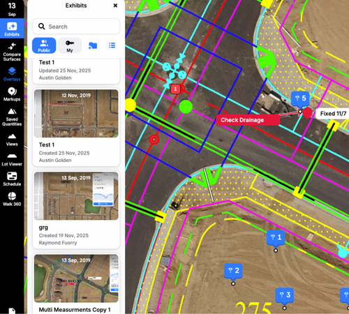
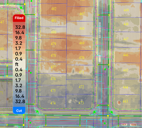
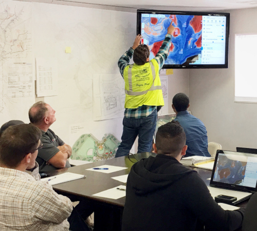
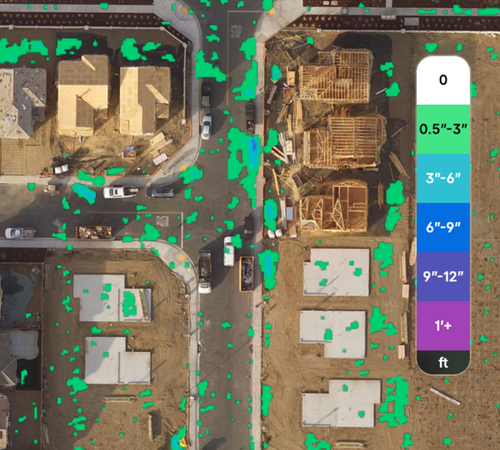
Hillwood Communities is one of North Texas’s premier developers of large-scale, master-planned communities. With...


